Rodder Maar

Niederdürenbach

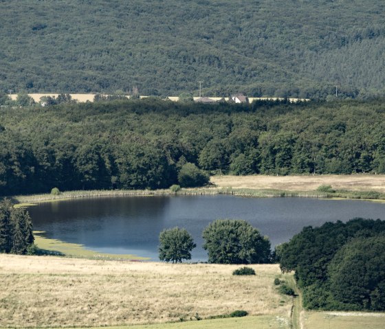
The so-called shallow water near Niederdürenbach has a checkered past.

It probably got its origin from a meteorite impact and has been used by humans in many different ways over the past 200 years.

Around 1800 the maar was used, for example, as a fish pond for the Olbrücker lords or later as a cultivation area or source of fodder for agriculture.

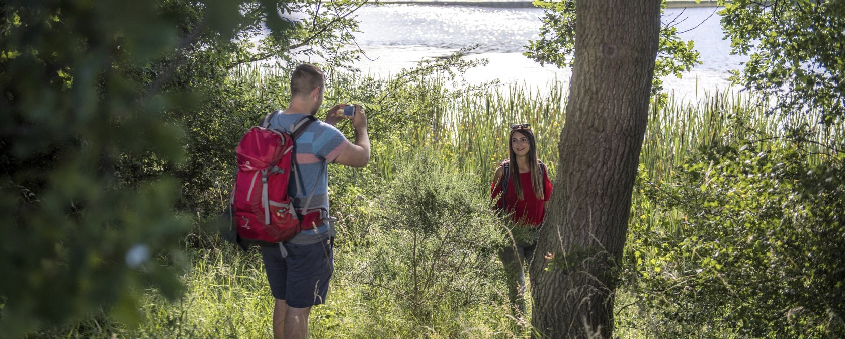
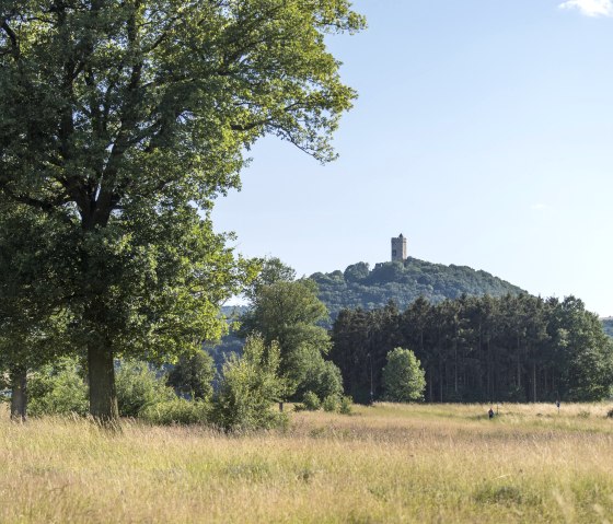
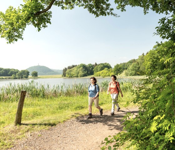
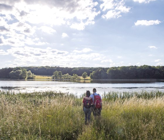
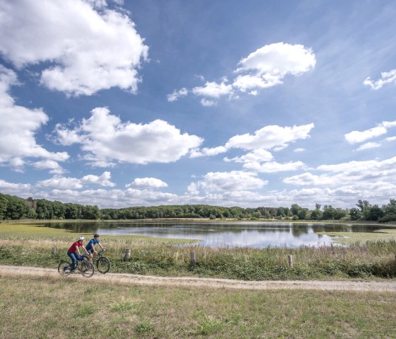
The Rodder Maar is also very popular as a hiking area. The circular route around the Rodder Maar is particularly inviting for families and nature enthusiasts, and the locals also like to take a walk.

Those who stop for a rest at Rodder Maar can admire the diverse flora and fauna of this biotope.

mehr lesen

Share content:

At a glance

Opening hours

  • From January 1st to December 31st
    Monday
    00:00 - 23:59

    Tuesday
    00:00 - 23:59

    Wednesday
    00:00 - 23:59

    Thursday
    00:00 - 23:59

    Friday
    00:00 - 23:59

    Saturday
    00:00 - 23:59

    Sunday
    00:00 - 23:59

Place

Niederdürenbach

Contact

Rodder Maar
56651 Niederdürenbach

Bitte akzeptieren Sie den Einsatz aller Cookies, um den Inhalt dieser Seite sehen zu können.

Alle Cookies Freigeben

Plan your journey

per Google Maps

You might also be interested in

Standort ehemalige Mühle, © VG Mendig/F. Neideck

ehem. Stiftsmühle und Franzosenstein am Florinshof

The former Florinshof mill, also known as the “Stiftsmühle” or “der Herren Mühle”, belonged to the formerly independent St. Florin monastery in Koblenz. The Franzosenstein, also known as the Napoleonstein, was originally erected in 1812 on a small plot of woodland in the Fuchshöle district. Dear people interested in local history, You would like to find out more about this place - where the former Florinshof mill stood - and the unique obelisk. We are happy to provide you with some further information below.