Vinxtbachtaler - Geopfad-Route V
Königsfeld
Starting from the Königsfeld community center through the historic town center, follow the geo-path markings. Continue along idyllic field paths with wonderful views and numerous ceramic sculptures.
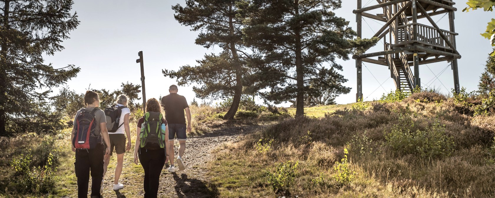
You reach the Schirmau forest estate via the adjoining forest paths. The path leads left behind the forest estate to the Weiselstein viewing tower. A small patch of heather surrounded by junipers blooms at the Weiselstein lookout tower in late summer. The route continues through fields and meadows to the village of Schalkenbach. On the way back to Königsfeld, you will come across more sculptures and old wayside crosses. At the L83, cross Vinxtbach and the road. Turn right along the sidewalk of the L83 and ascend to the left through the Königsfeld development area and back to the starting point.
There are two extension routes to this core route, which are also signposted and shown on the map:
- Geo-D into the Vinxtbach valley
- Geo-S about the production of charcoal
You can also find a detailed description with background information on the website of our volcano park guide Konrad Friedgen: https://profirouten.de/eifel/geopfad-route-v-und-d-vinxtbachtalweg
Marking of the tour:


